Outdoors · iOS · Hunters
Huntrail
Your hunt, mapped, planned and logged.
Huntrail is built for the people who are up at 4 a.m. — scouting public land, planning with their crew and logging every sit. It puts maps, prep, crew comms and a season log into one tool that keeps working where the signal stops.
Your hunt, mapped, planned and logged.
- 01
Ready before first light
A daily outlook built from wind, temperature, sky and moon — so you know when to go.
- 02
Public land, offline
US & Canada public lands (PAD-US) with 3D terrain that keeps working with zero bars.
- 03
Hunt together
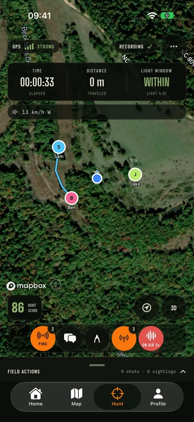
Crew Session shares live locations and gives your group push-to-talk radio.
- 04
Log every hunt
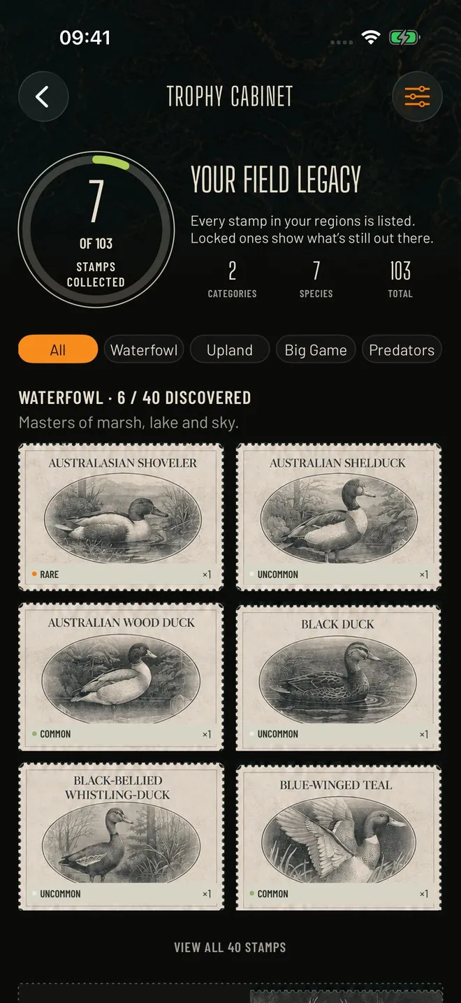
Track sessions, record harvests and build your field legacy, season after season.
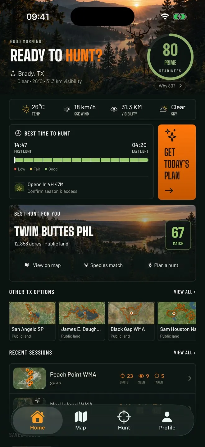
What's inside
- 01
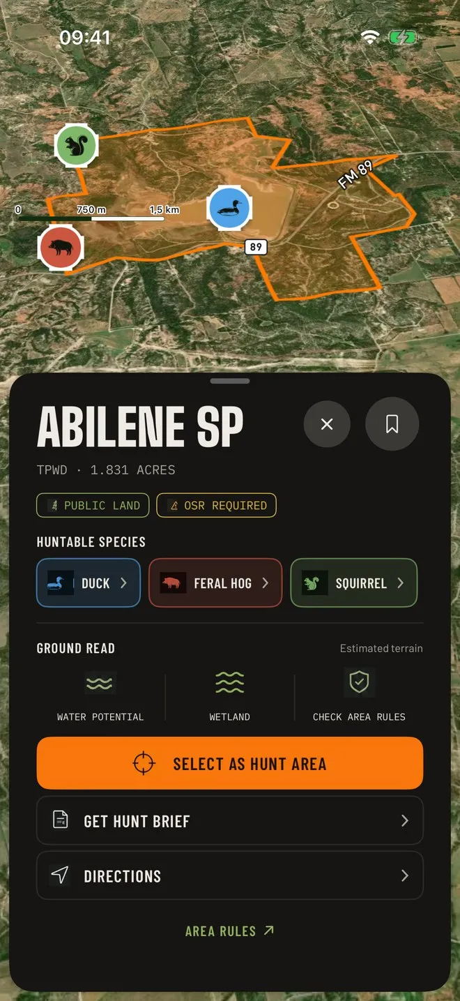
Offline public-land maps
US & Canada public lands from PAD-US, downloadable for use without signal.
- 02
3D terrain
Read ridges, saddles and draws before you ever set foot on them.
- 03
Hunt prep on the map
Draw your plan on the map and get a weather-based prep list.
- 04
Session tracking & harvest log
Track every outing and keep a clean record of each harvest.
- 05
Species identification
Point your camera to identify species in the field.
- 06
Crew Session
Shared live locations plus push-to-talk for your hunting party.
- 07
Daily hunting news
The state announcements that matter, without the digging.
- 08
Skinning guides
Step-by-step field guides for after the shot.
Questions
Do the maps work without cell service?
Yes. Download your area ahead of time and maps keep working offline.
Does Huntrail tell me where I can legally hunt?
Huntrail shows public-land data as a planning aid. Always confirm boundaries, seasons and regulations with your state wildlife agency.